
With the current changes in the digital environment, effective navigation solutions are essential at both individual and commercial levels. Although Google Maps is the superior product in the market, there are many Google Maps alternatives that can be used with distinct features and functions that are likely to meet particular requirements.
No matter whether you are interested in greater privacy, an offline experience, or navigation tools, having a look around several mapping websites can make a world of difference in your travel. These altervatives services offer a variety of options to location-based services, such as community-based content gathering to enterprise-level mapping. Awareness of the options and choices boosts users to make wiser choices concerning the aspect of the preferred means of navigation.
What is Google Maps?
Google Maps is the most popular web mapping system in the entire world as it encompasses comprehensive location amenities and services, real-time directions and guidance,7e as well as exhaustive geographic information. Introduced in 2005, this is a very potent product that offers street maps, satellite images, Traffic, and routing of different modes of transport. The platform is well compatible with other Google services, and it provides functions such as business information, reviews, and local search.
Although Google Maps covers most areas well, people are turning to Google Maps Alternatives that have improved privacy, use of advanced features, or even improvements in certain regions. High data-harvesting rates and the relative inaccuracy of the data held by the platform in remote locations have encouraged many to seek alternative mapping systems that will integrate more closely with their data capture requirements and privacy preferences.
Why Google Maps Alternatives Are Important
The increasing market need for different navigation solutions is based on the disparity of needs and fears regarding data protection, functionality, and availability in different territories of the world. Here are some of the reasons why Google Maps Alternatives are important:
- Privacy: A significant proportion of users look to alternatives that do not have elaborate ways of tracking users and do not require too much personal information to be collected.
- Offline capability: The offline mapping capability is superior on several alternative applications where the user can navigate through even without an internet connection in the remote areas.
- Special features: Some platforms have special features such as community traffic reports, advanced routing optimization, or industry-specific mapping tools to serve logistic functions.
- Regional Accuracy: In certain areas/regions where Google Maps does not cover thoroughly, certain alternatives perform and map out more details.
- Customization: Off-the-shelf tools and platforms that are targeting developers are quite customizable and allow companies that need a specific mapping solution to integrate it into their application.
Limitations to Look for in Google Maps Alternatives
In comparing Google Maps Alternatives, it is basically suggested that users evaluate the possible pitfalls of each platform and how they can alter the whole mapping experience and functions.
- Data Coverage: In some cases, the alternatives might contain little or even obsolete information in particular geographical areas, both in remote or less populated areas across the world.
- Real-Time updates: Not every channel offers full real-time traffic, road closures, or live navigation updates when it is compared to the established mapping services.
- Integration Capabilities: Most of the alternatives are not easily integrated with the popular apps, services, or smart devices that users are likely to use daily.
- User Interface: Such mapping solutions as found on some platforms may not be as intuitive or the mapping tools as steeply learned by existing users of more well-known solutions.
- Limitations of features: Some of the alternatives may not have sophisticated features such as Street View, information about businesses in detail, and comprehensive integration of public transportation.
Comparison Table for Google Maps Alternatives
| Name | Rating | Best Feature |
| Apple Maps | 4.2/5 | Seamless iOS Integration |
| Waze | 4.6/5 | Community-Driven Traffic Updates |
| HERE WeGo | 4.1/5 | Comprehensive Offline Maps |
| OpenStreetMap | 4.4/5 | Open-Source Community Data |
| Sygic | 4.3/5 | Global Offline Navigation |
| MapQuest | 3.9/5 | Integrated Traffic Cameras |
| TomTom Go | 4.2/5 | Premium Navigation Experience |
| Mapbox | 4.5/5 | Developer Customization Tools |
| OpenLayers | 4.3/5 | JavaScript Mapping Library |
| DistanceMatrix | 4.0/5 | API Distance Calculations |
10 Google Maps Alternatives
1. Apple Maps
Rating: 4.2/5
Website: https://www.apple.com/maps/
Best Use Cases: iOS device navigation, Siri integration, privacy-conscious users
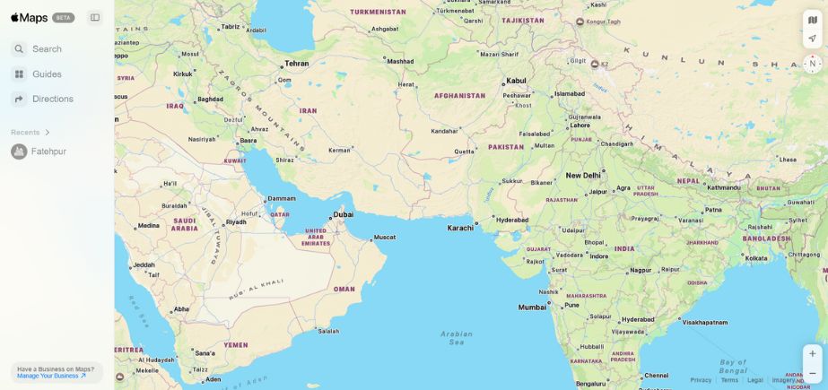
The native mapping application launched by Apple has changed a great deal, becoming competitive in providing navigation services only to iOS users, since its rough start. The platform provides accurate location information, turn-by-turn guidance, and easy compatibility with the Apple ecosystem. New features are high accuracy of detail, live traffic information, and the novelty of the use of street-level exploration, known as the Look Around feature.
The service focuses on enhancing the privacy of its users; thus, it processes the location data on their device, preventing the sending of personal data to third-party servers. Apple Maps has superior quality in its urban mapping that includes indoor mapping and large shopping centers and airports that allow users to visualize it even without physically touching the screen, as it uses Siri to operate hands-free. This is one of the best Google Maps Alternatives and priority choice for most iOS users.
Key Features:
- Look Around functionality
- Privacy-focused architecture
- Siri voice integration
- Real-time traffic updates
- Indoor mapping capabilities
Pros:
- Excellent privacy protection
- Seamless iOS integration
- Regular accuracy improvements
Cons:
- iOS-only availability
- Limited global coverage
- Fewer third-party integrations
Pricing: Free with iOS devices
2. Waze
Rating: 4.6/5
Website: https://www.waze.com/
Best Use Cases: Community-driven traffic updates, speed camera alerts, social navigation
Since this is a user-driven navigation system, it can change the way real-time traffic is managed by relying on the crowdsourced reports and joint route optimisation. Waze uses the crowdsourcing technique to come up with precise information regarding accidents, police encounters, road hazards, and road traffic. Social functions of the platform enable sharing places, organizing meetings, and sharing their collective knowledge of navigation.
It uses sophisticated routing algorithms that constantly respond to the current environment relative to traffic jams and road closures by automatically routing its drivers around these. Integration of entertainment possibilities in the application allows checking the music streaming services and podcasts with no switching out of the navigation interface, so it is a perfect product to use in the case of a daily commuter who needs an exciting routing experience.
Key Features:
- Community-driven traffic reports
- Speed camera alerts
- Social navigation features
- Entertainment integration
- Dynamic route optimization
Pros:
- Real-time traffic accuracy
- Active user community
- Entertainment integration options
Cons:
- High battery consumption
- Requires an internet connection
- Privacy data concerns
Pricing: Free with optional premium features
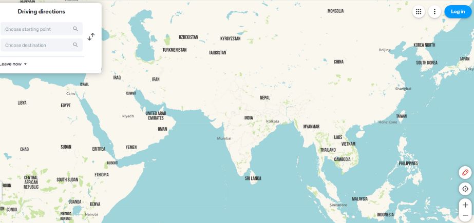
3. HERE WeGo
Rating: 4.1/5
Website: https://wego.here.com/
Best Use Cases: Offline navigation, international travel, public transportation planning
HERE WeGo was initially developed by Nokia and offers integrated navigation features that are outstanding in offline services to travellers who are exploring new landscapes. Maps of more than 100 countries are also available in detail and can be downloaded and used offline with the platform. Its clear, user-friendly interface gives clear voice instructions and visual pathways, which will be easy to navigate. It is a useful app in transportation planning, especially when travelling in trains, buses, and other transport.
The schedules are elaborate, along with route ideas and up-to-the-minute changes. HERE WeGo has viable elements such as finding parking places and storing favorite places and paths that can later be accessed by the same person or travelers, especially tourists.
Key Features:
- Extensive offline maps
- Public transit integration
- Clear voice guidance
- Parking location assistance
- Route saving capabilities
Pros:
- Excellent offline functionality
- Free comprehensive features
- Strong international coverage
Cons:
- Limited traffic updates
- Basic user interface
- Fewer community features
Pricing: Free
Other Alternative Blogs:
- Top Asana Alternatives
- Top Janitor AI Alternatives
- Top OnlyWire Alternatives
- Top Craigslist Alternatives
- Top Hotpot Alternatives
- Top Linktree Alternatives
- Top DocuSign alternatives
- Top PDF Drive Alternatives
- Top Kahoot Alternatives
- Top Squarespace Alternatives
- Top Facebook Marketplace Alternatives
- Top Alternatives to Google AdSense
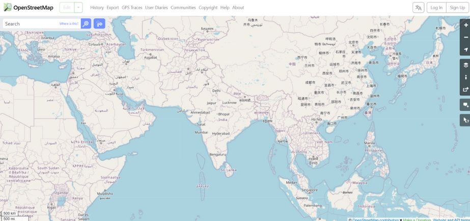
4. OpenStreetMap
Rating: 4.4/5
Website: https://www.openstreetmap.org/
Best Use Cases: Open-source mapping, community contributions, developer projects
This community mapping initiative is an ultimate example of community-based geographic data collection, and it is kept through volunteer efforts globally. OpenStreetMap offers free map data to users who are allowed to use the information freely by developers and other organizations without incurring license costs. The key to this site is that it provides local coverage in great detail, covering local geographic areas and hiking trails with hard-to-find geographic details that are often lacking in commercial mapping.
It depends on the users to make amends to the maps by editing, creating new destinations, and amending previously existing data to make them accurate and complete. Although it is mostly used as a source instead of a full-on navigation application, many third-party applications use the data on OpenStreetMap to develop rich feature navigation applications. The openness of the project has the effect of transparency and enables specialized applications in numerous industries and application scenarios.
Key Features:
- Open-source map data
- Community-driven updates
- Developer-friendly licensing
- Detailed local information
- Specialized geographic features
Pros:
- Completely free access
- Active contributor community
- Transparent data practices
Cons:
- Requires technical knowledge
- No built-in navigation
- Inconsistent data quality
Pricing: Free and open-source
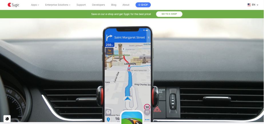
5. Sygic
Rating: 4.3/5
Website: https://www.sygic.com/
Best Use Cases: Global offline navigation, premium features, car connectivity
It is a professional level of navigation, the platform is characterized by complete GPS services and unlimited coverage of offline mapping in almost all countries of the world. Sygic includes cutting-edge navigation technology and excellent map data, resulting in accurate turn-by-turn directions whether or not there is internet connectivity. This system comes with higher capabilities, such as a dashcam and speed-limit reminders, along with compatibility with different car connectivity solutions. It also allows its users to locate destinations, points of interest, and services without the need for a data connection, known as its offline search.
Sygic offers varied subscription levels that serve recreational users and professional drivers, and special versions to navigate trucks and commercial vehicles. This enhances the popularity of this application among international travelers and professional drivers who need their application to be dependable and in a more feature-rich interface.
Key Features:
- Global offline maps
- Dashcam integration
- Car connectivity support
- Speed limit alerts
- Professional navigation tools
Pros:
- Comprehensive global coverage
- Premium feature set
- Reliable offline performance
Cons:
- Subscription-based pricing
- Complex interface options
- Limited free features
Pricing: Freemium model with premium subscriptions starting at $2.99/month
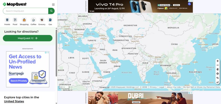
6. MapQuest
Rating: 3.9/5
Website: https://www.mapquest.com/
Best Use Cases: Traffic camera integration, route planning, cost optimization
The map service is one of the first mapping services on the internet that has been offering quality navigation services, equipped with distinct traffic monitoring services. MapQuest differentiated itself by going so far as to include live traffic cameras in the mapping interface, so users can make judgments regarding road conditions based on what they can visually see and then proceed with making routing decisions.
The platform is exceptional in multi-segment routing and has advanced optimization capabilities for minimizing the travel duration, fuel expenses, and toll roads. Its differences are the ability to set route preferences, the possibility to avoid highways or toll roads, and the extensive guidance with the speed limits during navigation. MapQuest is very versatile with two versions: a web-based tool and a mobile app, so the same application can be used on any device and platform, and the functionality remains the same, as well as the user experience.
Key Features:
- Live traffic cameras
- Route cost optimization
- Multi-segment planning
- Speed limit displays
- Customizable route preferences
Pros:
- Integrated camera feeds
- Cost-saving route options
- Highway avoidance features
Cons:
- Dated interface design
- Limited mobile features
- Basic social integration
Pricing: Free with optional premium features
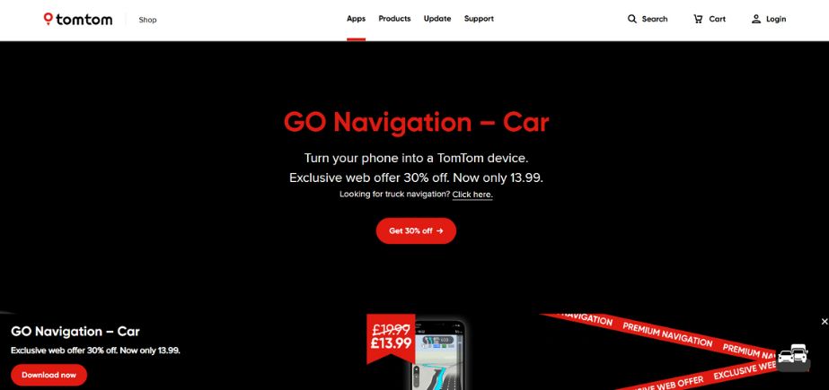
7. TomTom Go
Rating: 4.2/5
Website: https://www.tomtom.com/products/mobile-navigation/
Best Use Cases: Premium navigation experience, speed camera alerts, professional drivers
It is an upscale platform of navigation, which provides high-quality commercial GPS services with enriched traffic analysis and extensive safety instruments. TomTom Go gives real-time road traffic information, alerts about speed cameras, and red-light cameras to promote safety and fuel-saving during driving. To guarantee that the user can be equipped with the latest road information and geographic changes, the application will provide the offline maps every week.
It offers an ETA share, advanced routing, and integrations, such as with popular music and podcasts, which are featured in its subscription-based model. TomTom Go is aimed at people who want the very best navigation experience with little or no distractions, and the most reliable navigation solution on the market, which makes it especially attractive to drivers who make their living driving or those who travel a lot, as there is a need to be precise and have complete traffic information.
Key Features:
- Speed camera alerts
- Weekly map updates
- ETA sharing capabilities
- Premium traffic data
- Professional navigation tools
Pros:
- High-quality traffic data
- Professional-grade features
- Regular map updates
Cons:
- Subscription required
- Premium pricing model
- Limited free functionality
Pricing: Subscription-based starting at $19.95/year
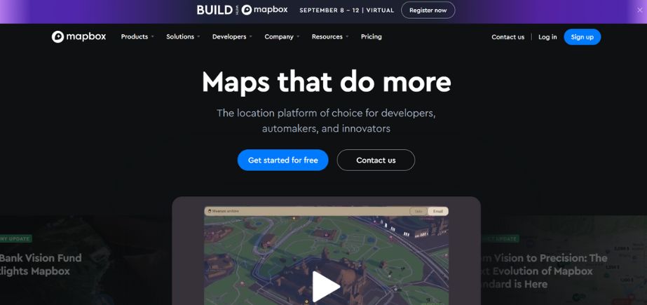
8. Mapbox
Rating: 4.5/5
Website: https://www.mapbox.com/
Best Use Cases: Developer customization, business applications, AI-powered location services
This geolocation mapping platform is developer-centric and specialises in providing businesses and application developers with solutions consisting of customisable location technology and mapping APIs. Mapbox introduces powerful geo-spatial analysis tools, real-time integration, and a high level of customization to enable companies to make custom mapping experiences. It can be helpful to industries that have special mapping requirements, like automotive, transportation, and mobile application developers. Its location services rest upon AI, and they provide intelligent paths, predictive analyses, and dynamic map experiences.
Mapbox offers some strong functionalities to handle big-scale data visualization and supports both raster and vector maps. It is also flexible, which preapproves its use by an enterprise that is interested integration of the advanced mapping features into its applications and services.
Key Features:
- AI-powered location technology
- Extensive customization options
- Developer-friendly APIs
- Real-time data integration
- Advanced geospatial analysis
Pros:
- Highly customizable platform
- Enterprise-grade features
- Developer-friendly documentation
Cons:
- Requires technical expertise
- Usage-based pricing model
- Complex implementation process
Pricing: Pay-as-you-go pricing starting at $0.50 per 1,000 requests
9. OpenLayers
Rating: 4.3/5
Website: https://openlayers.org/
Best Use Cases: Web development, custom mapping applications, JavaScript integration
The open-source JavaScript library gives developers the power to create powerful web-based map applications that are functional and customizable in many ways by end users. The raster and the vector data can be used in a map, and various file formats are supported through OpenLayers, thereby developers can develop a dynamic mapping experience that has customized interactivity. The library includes a wide range of capabilities to write layer maps, overlays, point and poly markers, and custom geographic visualizations.
It is built in a modifiable manner, which gives the developers the flexibility to identify the components that should be used, the loading speed of the application is accelerated, and performance optimization of the application is accomplished. OpenLayers has been adapted to all of the various data sources, can interact with a broad collection of web services, and can be used in simple locations to display or in advanced geographic information systems. The fact that it is open source puts the development of new mapping technology within reach, and once they are created, they are developed by the community.
Key Features:
- JavaScript mapping library
- Multiple format support
- Modular architecture design
- Custom visualization tools
- Web service integration
Pros:
- Complete open-source solution
- Extensive customization capabilities
- Active developer community
Cons:
- Requires programming knowledge
- No pre-built interface
- Complex learning curve
Pricing: Free and open-source
10. DistanceMatrix
Rating: 4.0/5
Website: https://distancematrix.ai/
Best Use Cases: API distance calculations, logistics optimization, route planning
DistanceMatrix API service can provide accurate information on the distance and travel time of a good many geographic sites to ensure resourcefulness to a business establishment. DistanceMatrix targets the logistics sector to help companies optimize delivery routes, calculate costs of shipping, and build an effective transport infrastructure. The service has precise and current, real-time calculations of traversing various forms of traffic tie-ups and road closures, among others.
It is API-first, out of the box, and can be easily integrated with other business apps, fleet management systems, and logistics platforms. The service is used to perform large calculations of handling big files to work with large files and can use various methods of transport, including driving, walking, cycling, and using public transport. DistanceMatrix is a business that seeks precise geographic calculation both in terms of operational efficiency and cost optimisation.
Key Features:
- API distance calculations
- Real-time traffic consideration
- Multiple transportation modes
- Bulk processing capabilities
- Business optimization tools
Pros:
- Accurate distance calculations
- Business-focused features
- API integration flexibility
Cons:
- Limited mapping interface
- API-only service model
- Requires technical implementation
Pricing: Pay-per-use model starting at $0.001 per calculation
How to Choose the Right Google Maps Alternatives
Choosing the most appropriate Google Maps Alternatives is a situation that one has to seriously consider on what exactly needs to be met, because you have numerous requirements, usage characteristics, as well as preferences on the functions of that particular navigation service platform.
When assessing various alternatives, it is pivotal to first examine the key usage scenarios that include daily commuting, intercontinental or even interplanetary travel, and business processes or recreational activities that dictate particular functions.
- Privacy Requirements: Review the terms of data collection, storage, and user customization of the platform to see whether they match your privacy standards and any relevant legislative requirements.
- Offline Capabilities: Check how good the capabilities of offline maps are, especially interesting to the traveler planning the journey into the region where internet connections are unreliable or where roaming data services are fairly costly.
- Features At a Glance: See which features are offered: real-time traffic, quality voice instructions, using and connecting to the mass transit, special features like the traffic cameras, or telling the community when a speed camera was seen.
- Platform Compatibility: Check compatibility of the option with the devices or the operating systems in use and ensure that it is easily compatible and gives you the same functionality on various platforms that you use frequently when it comes to navigation processes.
- Cost Factors: Evaluate price models such as free tiers, subscription plans, and/or pay-as-you-go levels to understand the cost-effectiveness and cost-benefit in the long term with respect to any particular solution.
Conclusion
The world of HMI technologies is still developing as individuals continue finding other navigation apps that allow them to meet their unique needs, privacy expectations, and extensive demands. Whether it is community-powered apps such as Waze or privacy-oriented software such as Apple Maps, every Google Maps Alternatives has its benefits depending on the set of situations the user is in. Be it focusing on offline possibilities, developer customisation opportunities, or niche business functionality, the multi-polar environment offered by mapping platforms has a solution to suit most navigation demands.
With the increasing technology and the change in interests of the users, these alternatives are getting even better, so there are strong attractions to look beyond the field of what is popular in the mapping business. The final decision in selecting the best Google Maps Alternatives boils down to preference and technical need, and application to define what the best navigation experience would entail.
Frequently Asked Questions
1. Are Google Maps Alternatives as precise as Google Maps?
Numerous alternatives, such as HERE WeGo, Apple Maps, and Waze, are also available with similar levels of accuracy, at least in the areas well covered by the providers or by location.
2. Which Google Maps Alternatives function optimally offline?
HERE WeGo, Sygic, and apps based on OpenStreetMap have great offline capabilities and provide the ability to download maps of a country or a part of it.
3. Is there a privacy-respecting Google Maps Alternatives?
Apple Maps and the app based on OpenStreetMap focus on user privacy by collecting as little data as possible and can be processed on the devices.
4. Are all of these Google Maps Alternatives applicable in the commercial uses of businesses?
Mapbox, OpenLayers, and DistanceMatrix are specifically tailored to meet the business requirements in that they can be customized with APIs and enterprise-level capabilities to suit business applications.
5. Do these Google Maps Alternatives favor public transportation?
HERE WeGo, Apple Maps, and others all include complete public transit data such as schedules, routes, and live status.